An introduction to JoM, by the Editor.
Why publish a map or spatial diagram?
Publishing a map or spatial diagram in Journal of Maps enables you to:
Bring your research to life through visual representation.
Reach new audiences for your research by publishing under an open model.
Foster new collaborations across disciplines by making your research accessible.
Gain additional credit for your research with a second, citable publication.
Retain ownership by publishing using a creative commons license.
Before making a submission, please read and adhere to our our Instructions for Authors.
Did you know that you can create and publish a map using your underlying spatial data?
Bring your research to life through visual representation.
Checklist
If you are interested in publishing a map or spatial based on the underlying data from your research, follow these 4 steps before planning your submission:
Review the Instructions for Authors before making your submission to make sure you adhere to the journal requirements.
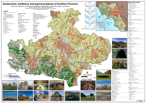
View the Best Map Award page to see some examples of the inter-disciplinary research previously published in the journal for inspiration, including the most recent award-winning map linked above.
Visit the journal to view published articles to get some inspiration (remember that the “main map” is in the supplementary materials section).
Read our guide to common map errors to avoid some of the more common mistakes that leads to a submission being rejected.
Top Tips
To be accepted in the journal your map or spatial diagram must adhere to high cartographic standards. Remember these 4 top tips for producing your map:
You will need the input of a graphic designer or cartographer and have experience in using GIS. If no one on your team has these skills, then a Geography Department or central administration in your university should be able to help.
Typical software for producing a map or spatial diagram includes ArcGIS or QIS for data manipulation and map production. Some designers use Illustrator or CorelDRAW.
Follow our guide to common errors in map production to help you with creating your map.
Remember maps are powerful storytelling devices, but are also aesthetically appealing. Look for inspiration in your design from other maps that have been published, but think about creating a “mood board” through a service such as Pinterest to help. You can find inspiration from a service like https://Behance.net, searching theme-specific keywords.
The word limit (excluding abstract, captions, reference) is 2500-4000 words. Our “short form” will force you to include only what is really necessary!
For guidance or advice on how to prepare a successful submission you can contact the Editor-in-Chief of Journal of Maps, Dr Mike Smith, at [email protected].