Submit a Manuscript to the Journal
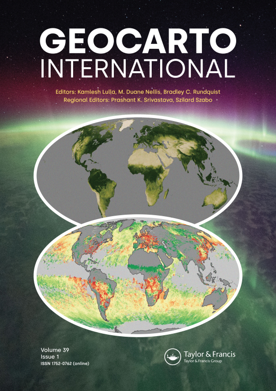
Geocarto International
For an Article Collection on
GIS Applications for the Study and Management of Cultural Heritage Sites
Manuscript deadline
15 May 2024


Article collection guest advisor(s)
Dr Marek Ogryzek,
University of Warmia and Mazury
[email protected]
Professor Eufemia Tarantino,
Polytechnic University of Bari
[email protected]
Dr Alessandra Capolupo,
Polytechnic University of Bari
[email protected]
GIS Applications for the Study and Management of Cultural Heritage Sites
GIS (Geographic Information System) technology has revolutionized the way in which cultural heritage is managed and studied. It allows for the collection, analysis, and interpretation of spatial data, not only facilitating mapping but also developing spatial models and evaluating scenarios. GIS may be used for the documentation, preservation, and management of cultural heritage sites, along with facilitating research and engagement between the public and scholars.
Mapping technologies, geospatial analysis, and digitization processes empower researchers, developers, and heritage managers to evaluate physical conditions, understand the context and spatial relationships between sites, and forecast the potential impacts of development and climate change. The application of GIS technology in cultural heritage has transformed the approach that is being taken towards heritage management, by converting information into digital data and then facilitating significant advancements in cultural heritage study and preservation. The integration of GIS technology into the field of cultural heritage allows for a more comprehensive understanding of the interrelated aspects of cultural heritage, such as historic structures, archaeological sites, and cultural landscapes.
In this Article Collection, we aim to explore the various ways in which GIS is being used to support the protection and management of cultural heritage. We invite submissions of research articles and scientific and technical reviews that explore the intersection of GIS and cultural heritage. Articles may include interdisciplinary research from fields such as archaeology, history, geography, architecture, and environmental studies. We also welcome papers that discuss innovative GIS techniques and data management strategies in the context of cultural heritage research.
Subtopics within this Collection include:
- GIS applications in the documentation and inventory of cultural heritage sites
- Spatial analysis and mapping of cultural heritage landscapes
- GIS and archaeology: mapping and analyzing excavation data
- GIS and historic preservation: integrating GIS into the planning and management of heritage sites
The deadline for submitting manuscripts is 15th May 2024.
All manuscripts submitted to this Article Collection will undergo a full peer-review; the Guest Advisors for this collection will not be handling the manuscripts. Please review the journal scope and author submission instructions prior to submitting a manuscript.
Please contact Alex Johnson at [email protected] with any queries regarding this Article Collection.
Article Collection Guest Advisors
Dr Marek Ogryzek is Assistant Professor at the Institute of Spatial Management and Geography, Department of Socio-Economic Geography, at the University of Warmia and Mazury in Olsztyn. Vice-dean for student affairs in 2016-2020 faculty of of the Faculty of Geodesy and Civil Engineering. Head of the GIS Laboratory at the UWM and Head of the Center for Geomatics and Modern Satellite Technologies in the Olsztyn Science and Technology Park. He is a member of the editorial board of International Journal of Environmental Research and Public Health, as well as international scientific committees of conferences.
He studies the issues of optimal and sustainable development, modeling and spatial planning. His scientific interests mainly concern geostatistics and the interdisciplinarity of GIS technologies. He uses statistical and geostatistical methods to perform geoinformation analyses.
Professor Eufemia Tarantino is the coordinator of the MSc Course of Environmental and Territorial Engineering at the Polytechnic University of Bari and a member of the editorial board of Remote Sensing and ISPRS International Journal of Geo-Information as well as international scientific committees of conferences (ICCSA, EARSEL and BALTIC SURVEY). Her main Research Interests are related to Methodologies for multi-temporal analysis (Change detection) and classification of optical satellite sensor data aimed at environmental, rural landscape, and cultural heritage monitoring and documentation.
Dr Alessandra Capolupo is an Assistant Professor of Geomatics at the Polytechnic University of Bari. Her research interests are related to mapping, photogrammetry, and remote sensing. She is the Editor of Remote Sensing, Land and ISPRS International Journal of Geo-Information Special Issues and received many academic awards (best essay, young scientist, etc.). She worked on national and European programs to develop innovative algorithms and methodologies for merging geospatial data from remote and proximal sensors for monitoring and management of the environment, rural landscape, and heritage sites.
Benefits of publishing open access within Taylor & Francis
Global marketing and publicity, ensuring your research reaches the people you want it to.
Article Collections bring together the latest research on hot topics from influential researchers across the globe.
Rigorous peer review for every open access article.
Rapid online publication allowing you to share your work quickly.
Looking to Publish your Research?
Find out how to publish your research open access with Taylor & Francis Group.
Choose open accessSubmission Instructions
All manuscripts submitted to this Article Collection will undergo desk assessment and peer-review as part of our standard editorial process. Guest Advisors for this collection will not be involved in peer-reviewing manuscripts unless they are an existing member of the Editorial Board. Please review the journal Aims and Scope and author submission instructions prior to submitting a manuscript.